Last updated April 2022 | Words and photos by Vietnam Coracle | 38 comments
This post was last updated 3 years ago. Please check the comments section for possible updates, or read more on my Updates & Accuracy page.
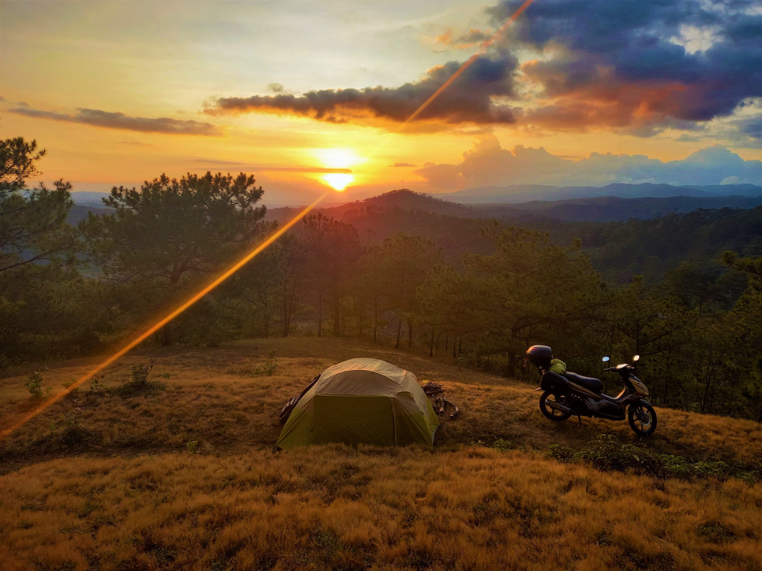
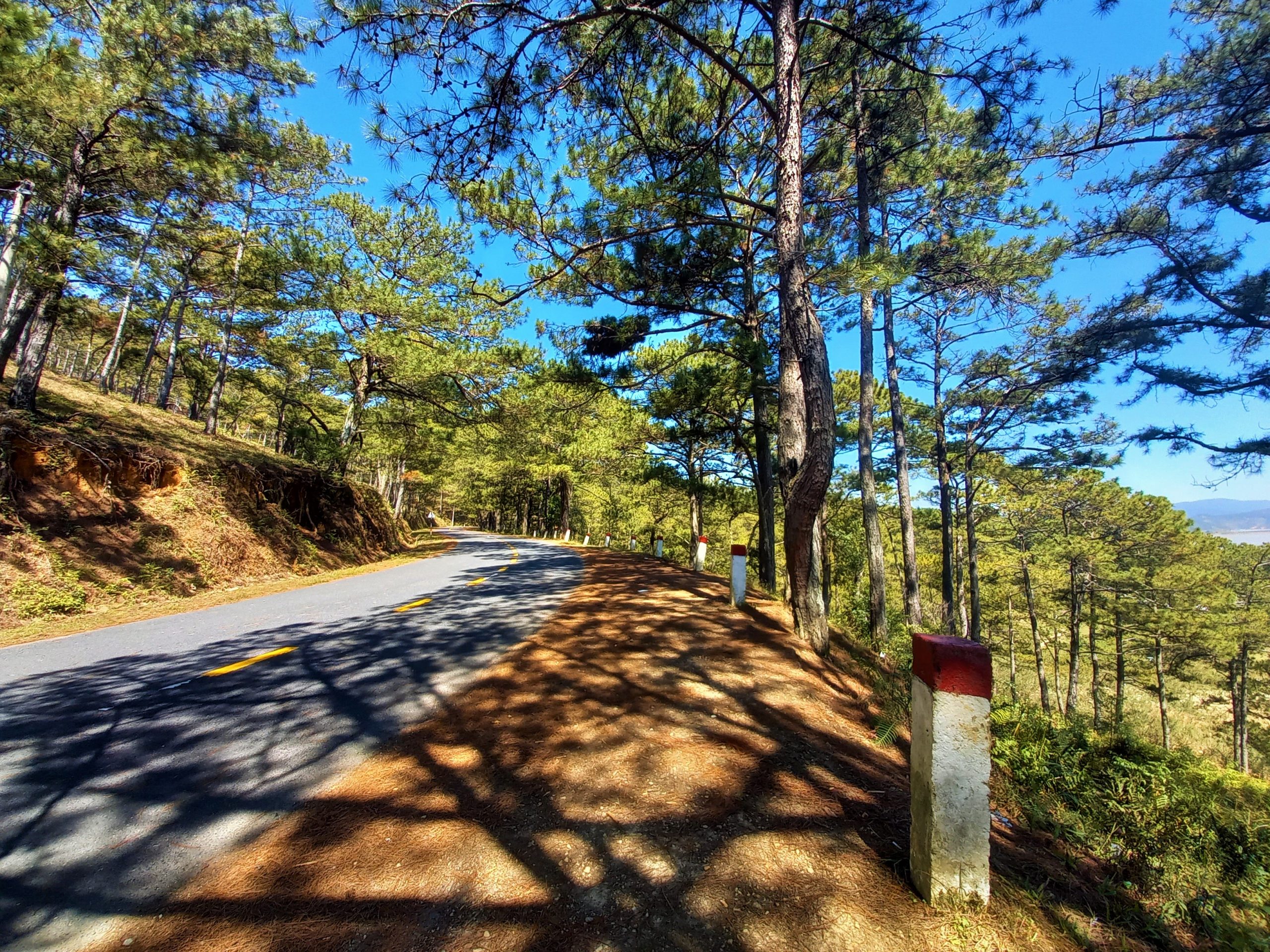
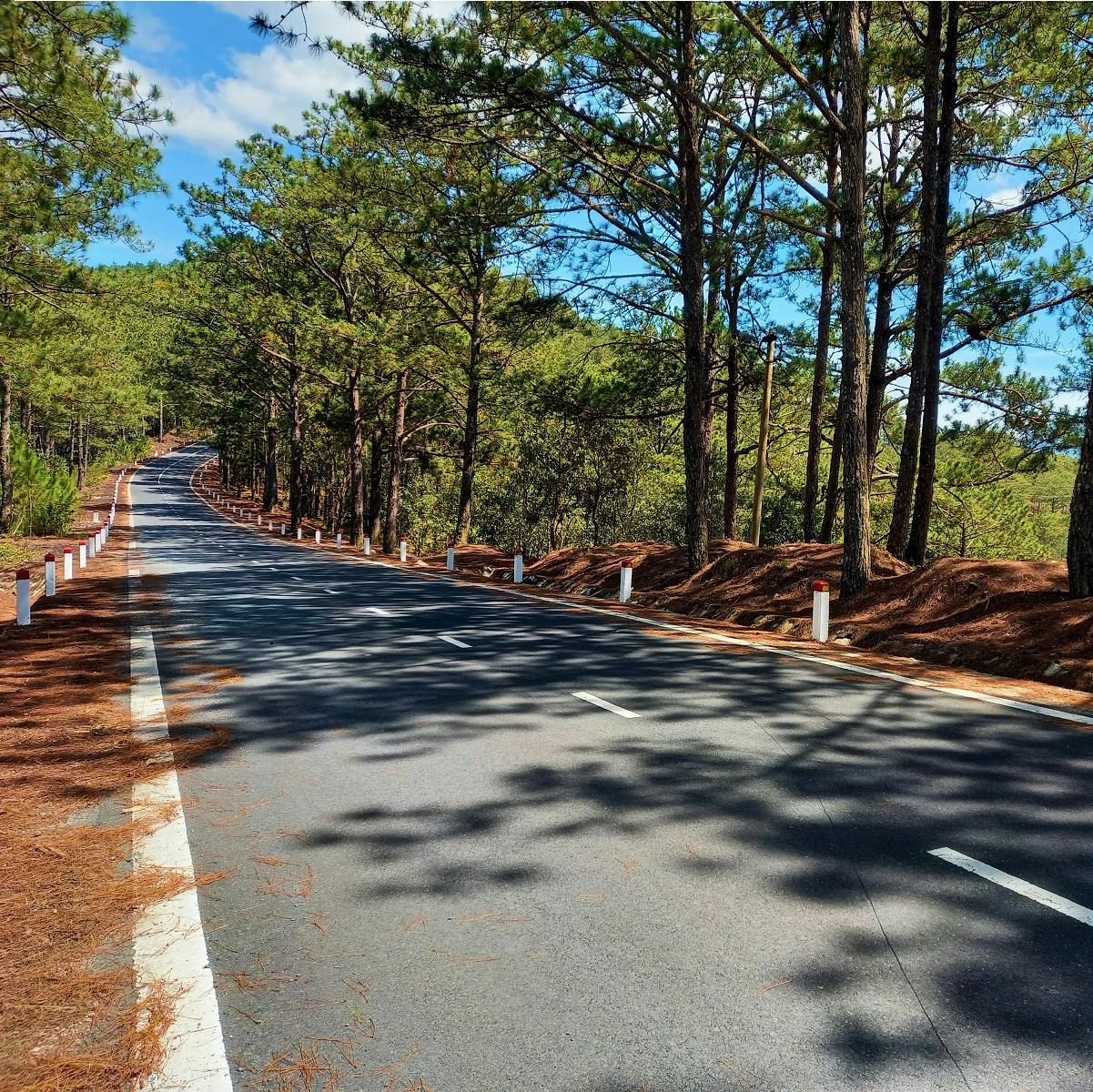
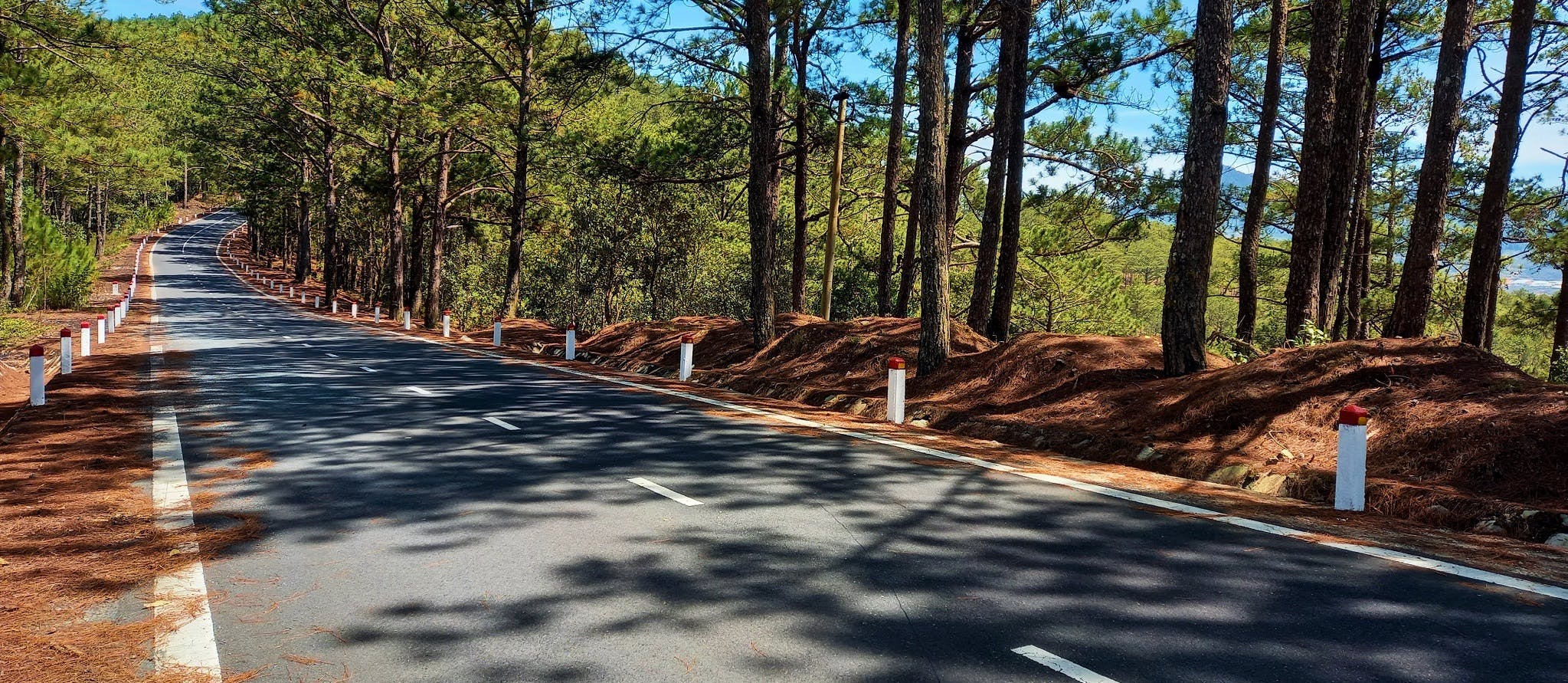
An enticing road leads north from Dalat; beyond the city’s urban sprawl and touristy sites, past Suối Vàng Lake and deep into the forests and mountains of Lâm Đồng Province, before dead-ending at the Krông Nô River marking the border with Đắk Lắk Province. The scenery is exceptionally alpine, characterized by coniferous forests and peaks rising to 2,500m (8,200ft) in the crisp highland light. A couple of rustic but friendly and interesting minority hamlets dot the route. But, most of all, this road is about trees: deciduous and evergreen forests and jungles blanket the landscape. King among trees in this region is the pine, whose scent fills the cool air. The ‘Pine Tree Road’ is smooth, empty, scenic and easy to ride. A perfect day trip from Dalat with a picnic, but also ideal for wild camping – one of the most memorable experiences you can have in Vietnam’s Central Highlands.
[Back Top]

GUIDE: THE PINE TREE ROAD
North of Dalat on an Empty Road into the Forest
In this guide, I’ve included a description of the route, a map, and some information about food, drink and accommodation. The ‘Pine Tree Road’ stretches 75km north of Dalat before dead-ending at the Krông Nô River. This makes the return journey 150km, which is rideable as a full day trip from Dalat. Alternatively, you can wild camp along the route or find a place to stay. Any time of year is good, but the best months are November to April: the dry season. (Remember that temperatures can be surprisingly cool at this altitude.) If you don’t already have a motorbike, rental in Dalat should be fairly easy. The ‘Pine Tree Road’ is actually the detached southern-most section of the amazing Trường Sơn Đông Road. Don’t be fooled by Google Maps: as things currently stand, the ‘Pine Tree Road’ is a one-way route: the only way to make it a round trip or to continue north is via a rough road due west of Đưng K’Nớ that even experienced off-road riders find challenging. (For more Dalat routes check out Related Posts.)
CONTENTS:
*Road Safety & Disclaimer: Riding a motorbike in Vietnam – or anywhere in the world – has its dangers. I would hope & expect anyone who chooses to pursue a self-drive road trip based on the information on this website does so with care, respect & due diligence. I encourage careful riding & adherence to road rules, but I am not responsible for the legality or manner in which you ride, nor any negative consequences which may result from your decision to ride a motorbike in Vietnam: you do so at your own risk. Read more >
MAP:
The Pine Tree Road: North of Dalat by Motorbike
View LARGER MAP
Please Support my Site
I never receive payment for anything I write: all my content is free to read & independently financed. There’s no sponsored content whatsoever. If you like this guide, please consider making a donation or becoming a patron.
Thank you, Tom
The Route:
DETAILS:
- Route: North of Dalat on the ‘Pine Tree Road’ to Đưng K’Nớ & the Krông Nô River
- Distance: 75km (one-way)
- Duration: half- or full-day
- Scenery: pine forests, jungle, rivers, valleys, mountains, coffee plantations, villages
- Attractions: empty roads, great riding, highland scenery, river bathing, camping
- Road Conditions: good, smooth, paved roads, no traffic
Leave Dalat heading due northwest, past the appallingly polluted Cam Ly Waterfall. But don’t worry, this road trip is going to take you to an area where rivers still run clean and clear, beyond the reach of the extending arms of Dalat’s urban sprawl. Indeed, it only takes a few kilometres before the road curls northwards, leaving behind the trucks and plastic-covered vegetable and flower farms. Pine trees crest the hillsides, the landscape opens up and a couple of strawberry orchards (vườn dâu tây) line the roadside.
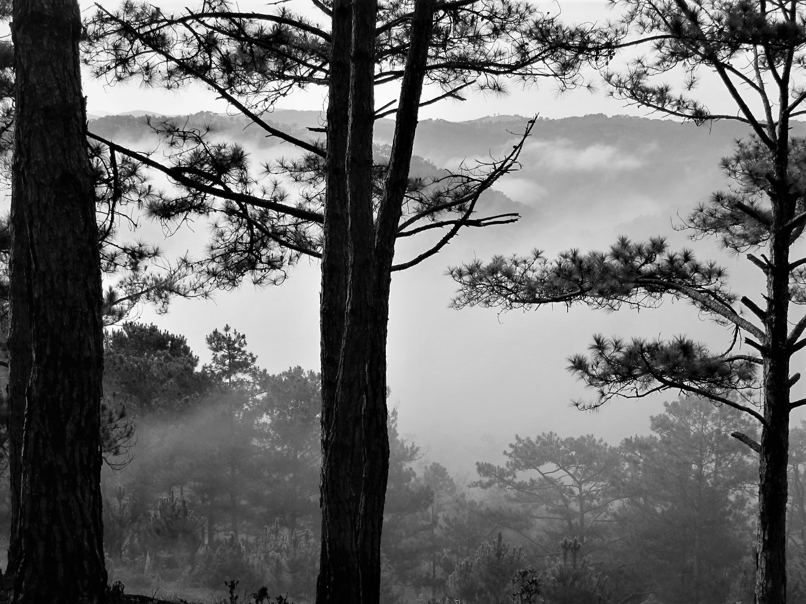
Through a corridor of dappled light beneath the canopy of overarching trees, the road passes by several excellent local barbecue shacks before sharply descending to the exotic-sounding (but, in reality, rather disappointing) Ankroet Waterfall. The falls are formed by a 1940s stone dam, which is somewhat more impressive than the cascade it produces. However, the scenery surrounding the dam is very picturesque: pine-studded grassy slopes rising from the road as it skirts the placid waters of Dankia Reservoir. The lakeside is a nice place for a picnic, although sadly it’s tainted by trash left by previous picnickers.

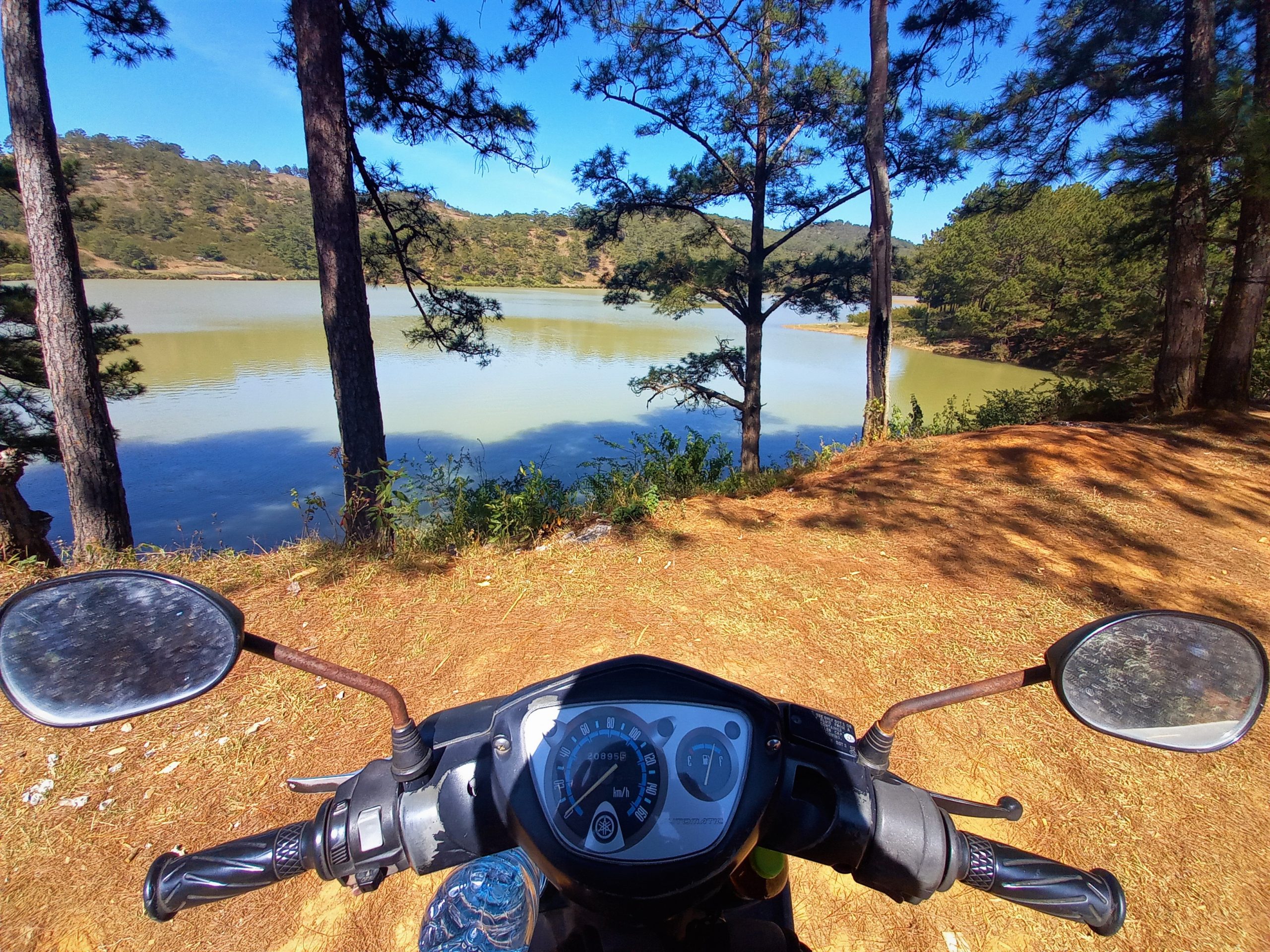
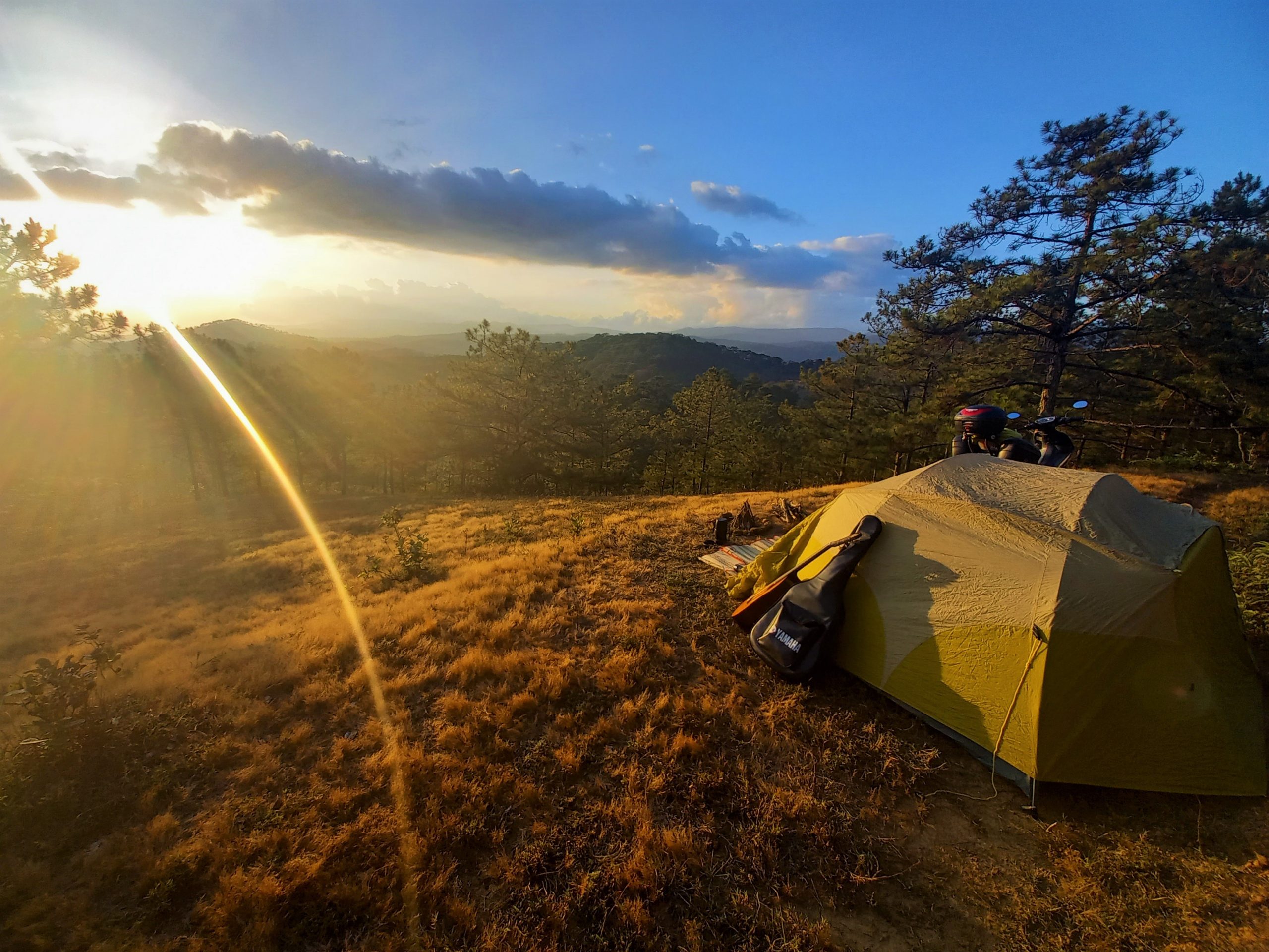
Up and over a small rise, the road connects with another, larger reservoir: the romantically named Hồ Suối Vàng – Golden Spring Lake. It’s a scenic spot and there are some rustic eateries by the water’s edge with Lang Biang Mountain looming large to the east. Just north of the lake, the road heads away from the reservoirs and into the forests. Before reaching the rather quaint Làng Cù Lần Resort at the bottom of a valley, several small, red-dirt tracks lead off the main road due west into the pines. One of these tracks goes to La An Dalat Retreat, but many others lead off into the woods, where it’s possible to get pleasantly lost and find some truly extraordinary wild campsites. A night camping in the forests here is very special indeed. But make sure you come prepared. (For more details read my Dalat Camping Guide.)
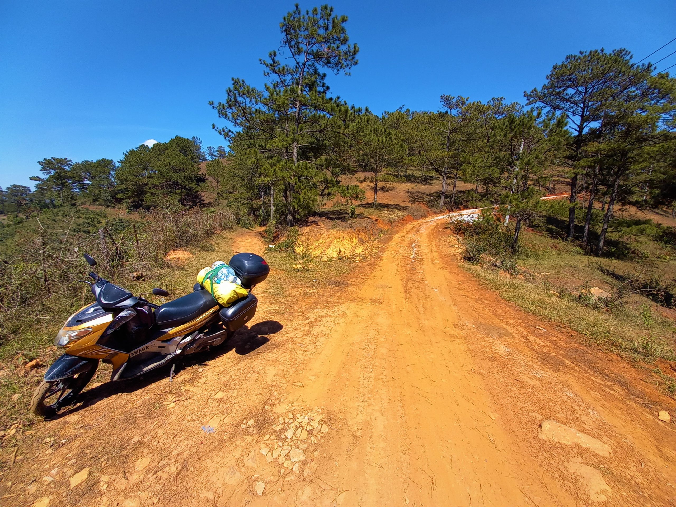
Làng Cù Lần Resort is as far as most tourists go on the ‘Pine Tree Road’. And that’s a shame, because this is the point at which the road plunges north deep into the forests and mountains of Lâm Đồng Province. From here, the scenery gets even better and more remote. Just a short distance north of Làng Cù Lần, a rough road veers due west to Tuyệt Tình Cốc, an abandoned quarry filled with rain water that’s turned a startling blue. However, this long dirt-road detour should only be attempted in dry conditions.
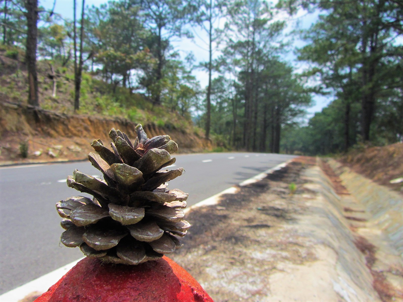
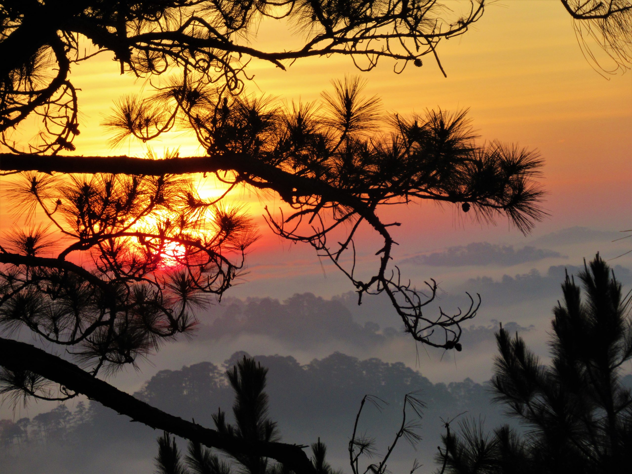
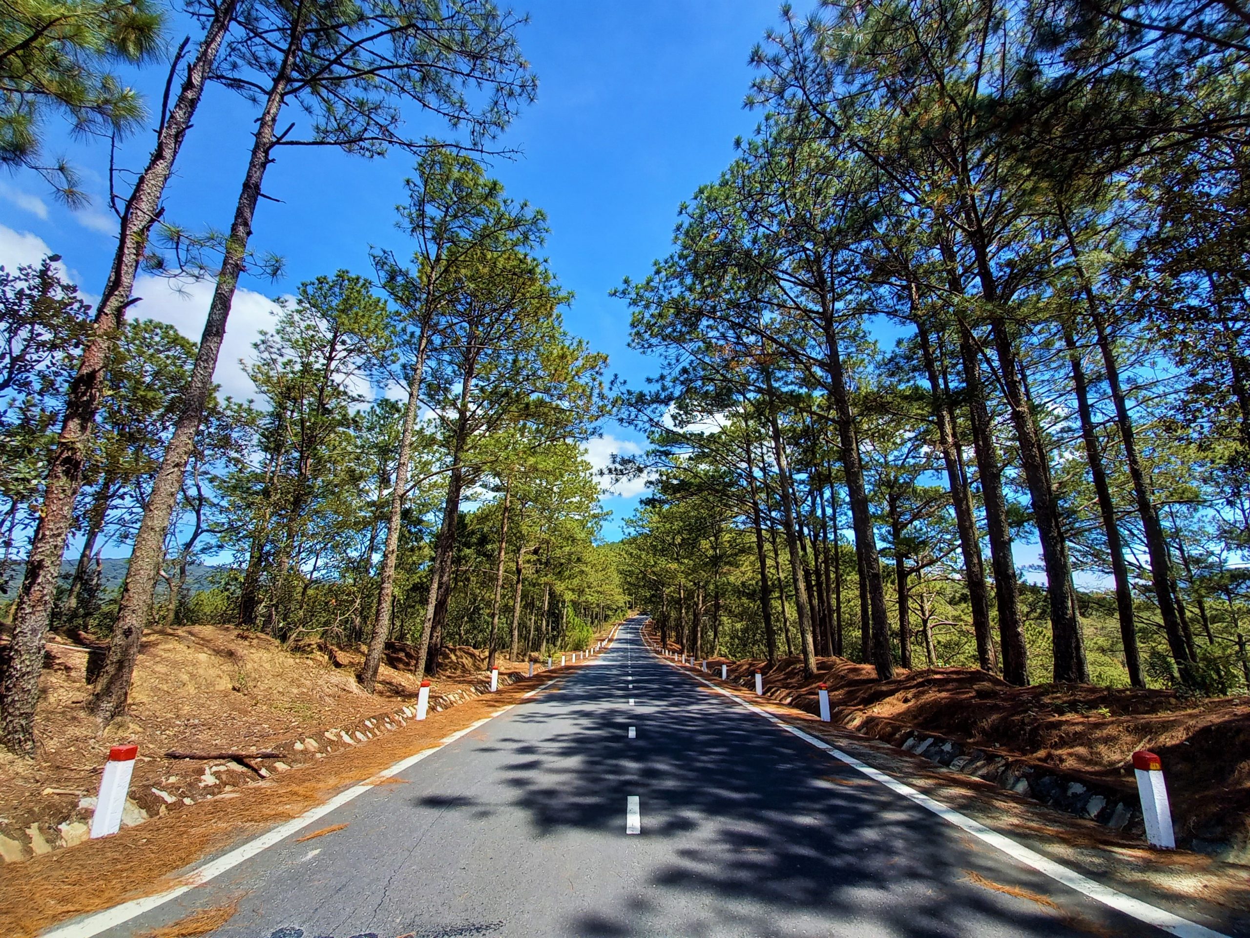
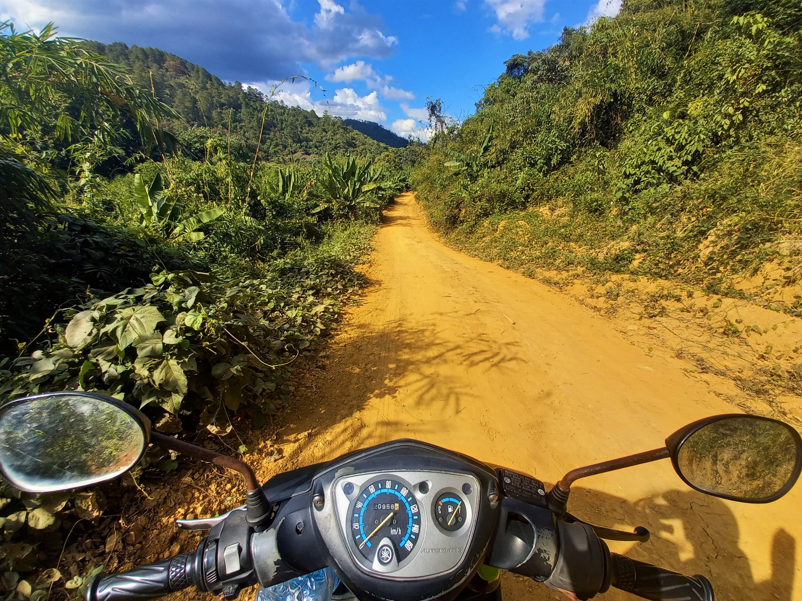
Corkscrewing north, the road is an empty, smooth, river of asphalt, meandering into the distance for the next 25km all the way to Đưng K’Nớ hamlet. The air is crisp and cool; the light sharp and fresh. It’s an invigorating ride. There are no other vehicles as you wind up and down the contours of the Lang Biang Plateau, occasionally skirting the edges of Bidoup National Park, where wild animals, such as the Asiatic black bear and black-shanked douc still (despite generations of hunting) roam in modest numbers.
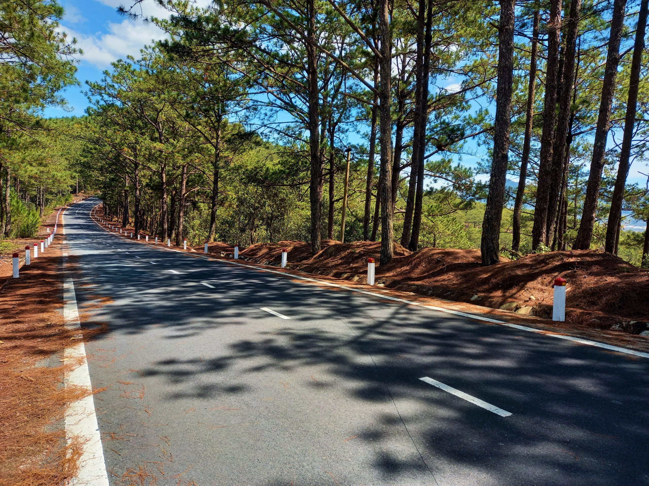
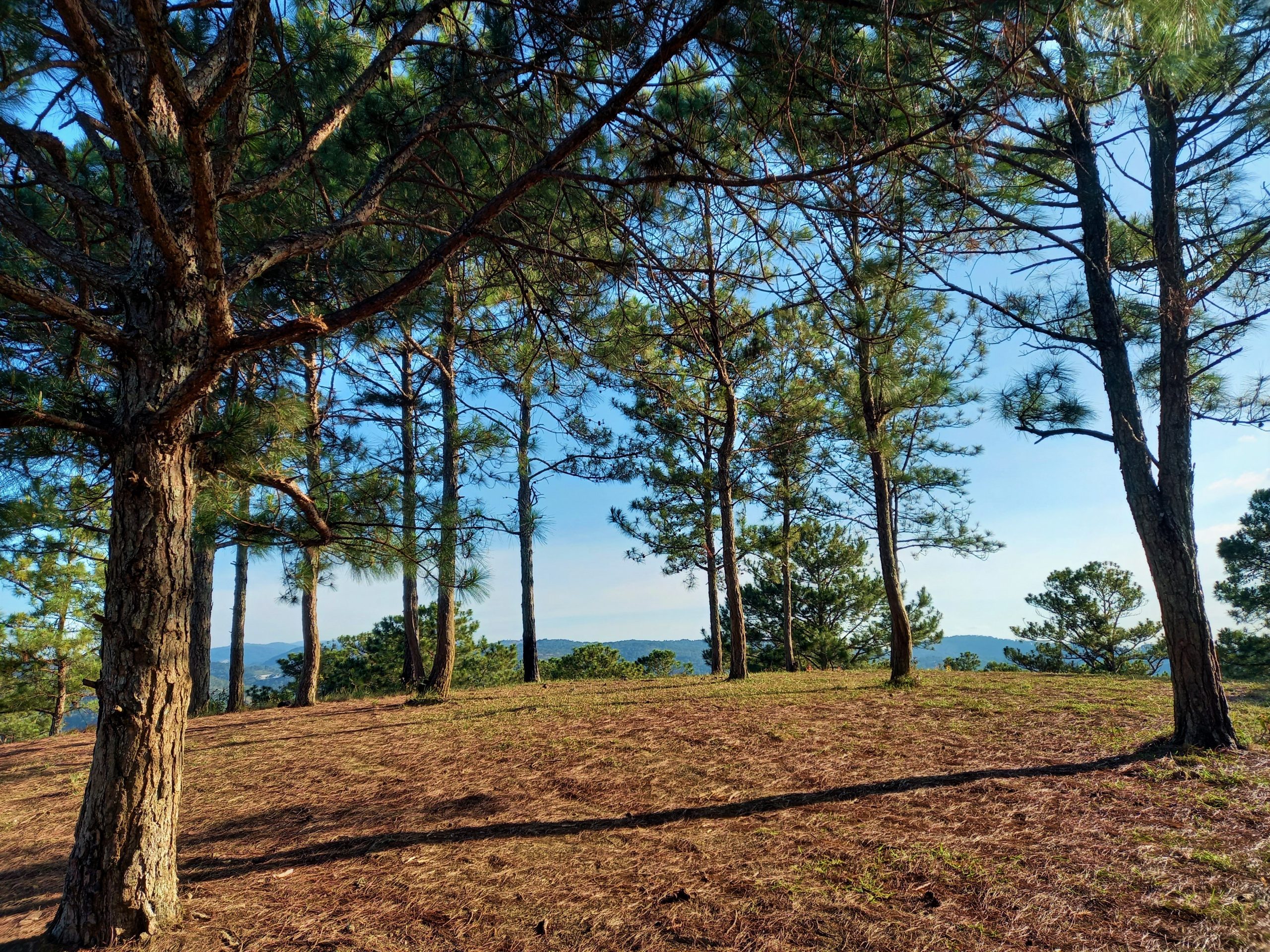
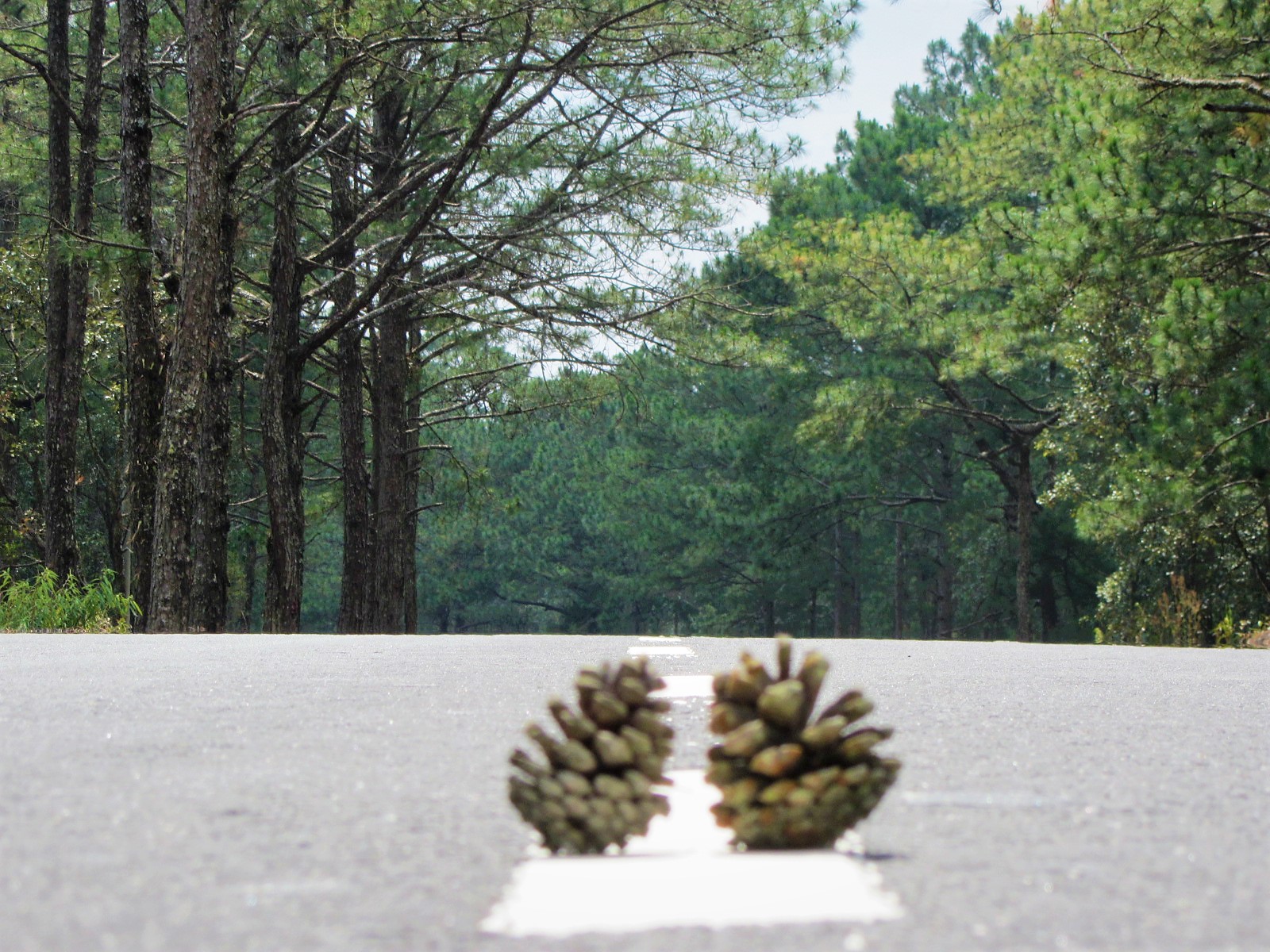
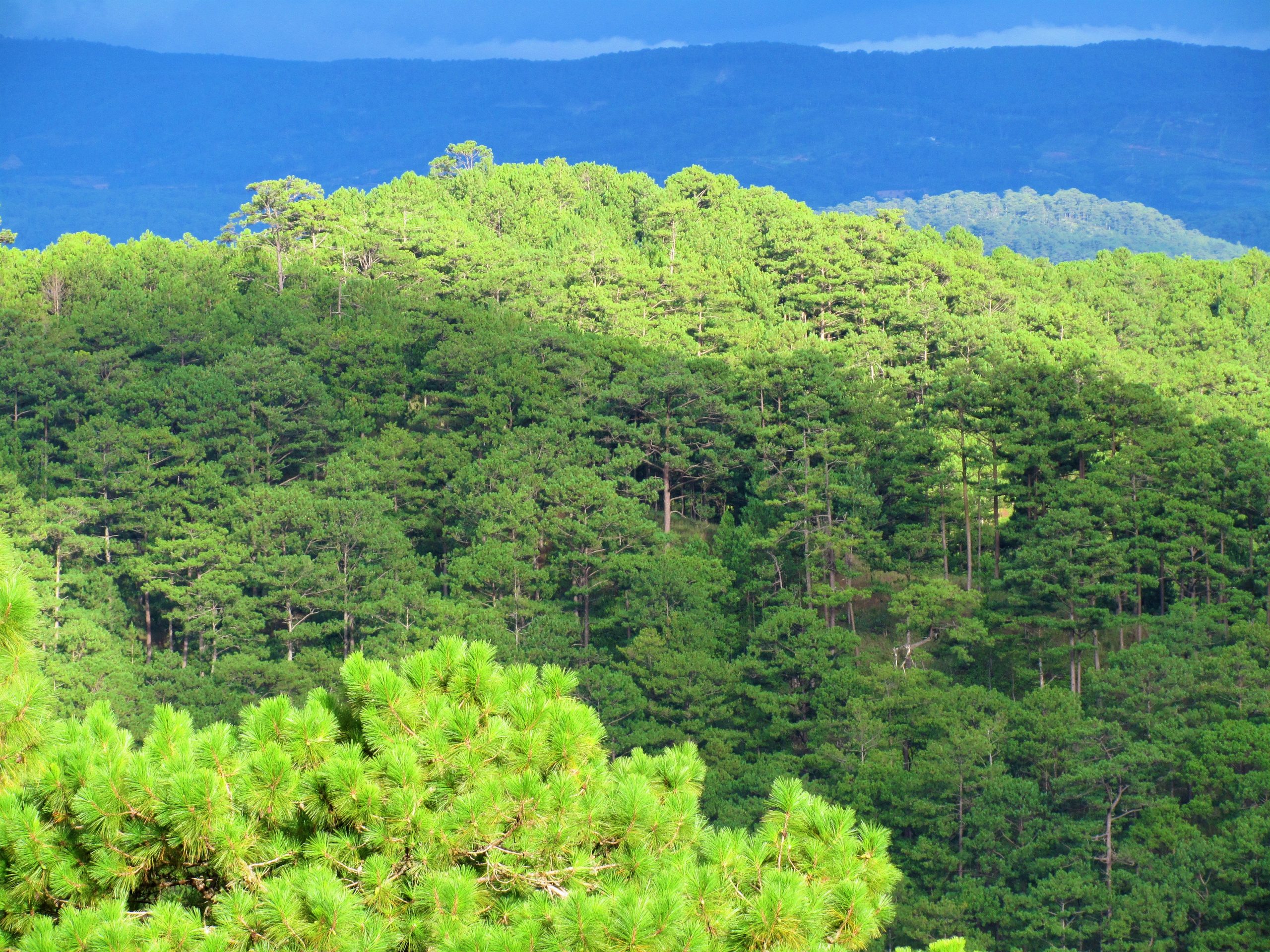
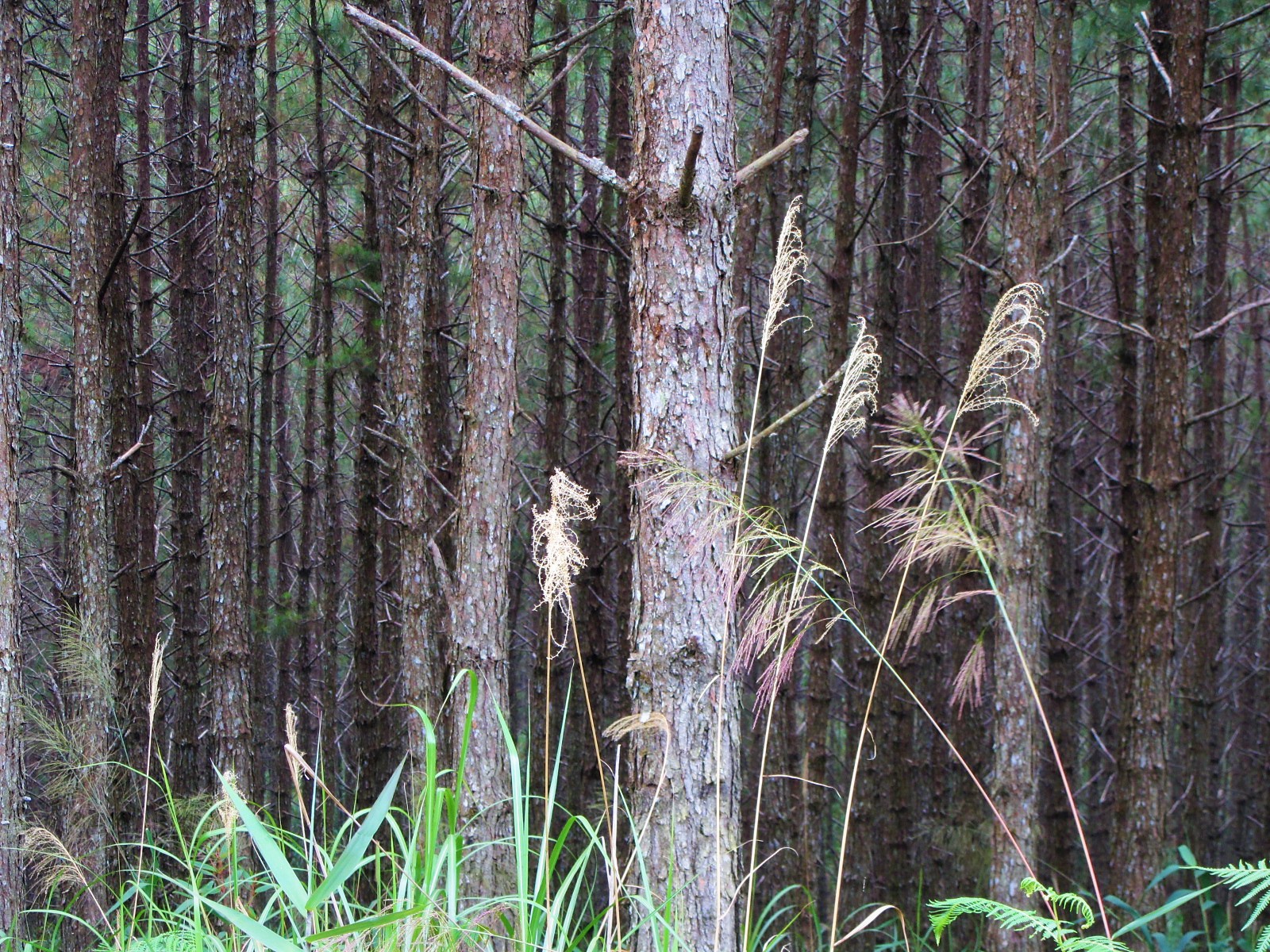
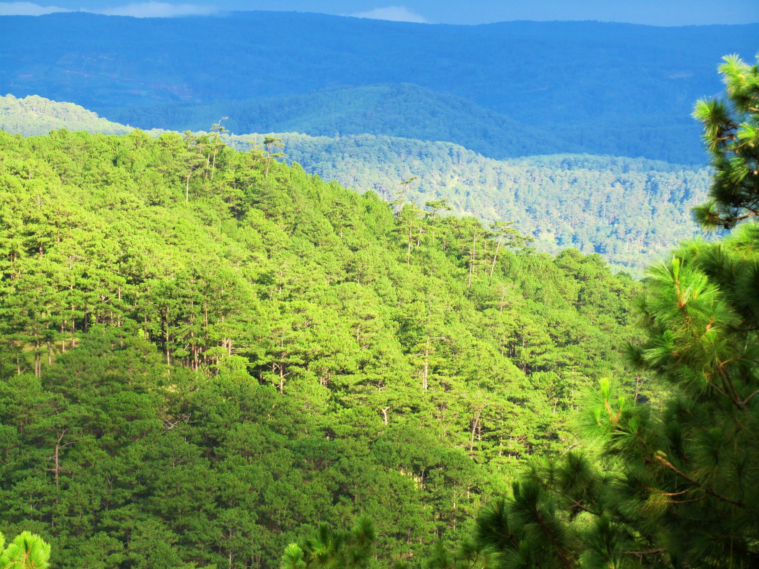
The pine trees stand straight and erect, lining the road in their hundreds of thousands and spreading all the way to the horizon, like a giant army standing at attention in ranks, escorting you on your way. This area even has its very own variety of pine tree: the Pinus Dalatensis or White Pine, which grows up to 40 metres high. There’s something special about pine forests: under the perfumed canopy they are snug, comforting, soft and benevolent places to be (although also somehow haunting); the pine needles create a perfect carpet on which to lay out and, at night, the wind through the treetops sounds like waves breaking on a beach.

Ten kilometres or so south of Đưng K’Nớ hamlet the foliage changes suddenly. Riotous jungle takes the place of regimented pine forests. The canopy becomes dense and impenetrable, with layers of twisting epiphytes, trunks, climbers and creepers. It’s recognizably tropical as opposed to the temperate forests of earlier. I can only assume that there’s a climatic change here which is favourable to a different kind of flora. An interesting new viewing point, Lãnh Địa Khỉ Ho Cò Gáy, featuring some handsome traditional wooden structures is located by the roadside here. But, at the time of research, it was closed.
There’s also a noticeable increase in human activity at this point on the route. Large swathes of forest have been burned to make way for cash crops, such as coffee and corn. And parts of the forest have been regularly plundered for resources, resulting in a network of ‘bald-patches’ across the landscape. Furls of smoke rise from the valleys where piled husks of newly harvested corn are being incinerated. The rhythmic beat of chopping axes echoes from ridge to ridge as trees are hacked for firewood. All this is quite jarring at first, and some of the hillsides have the apocalyptic look familiar from photographs of napalmed forests during the war.
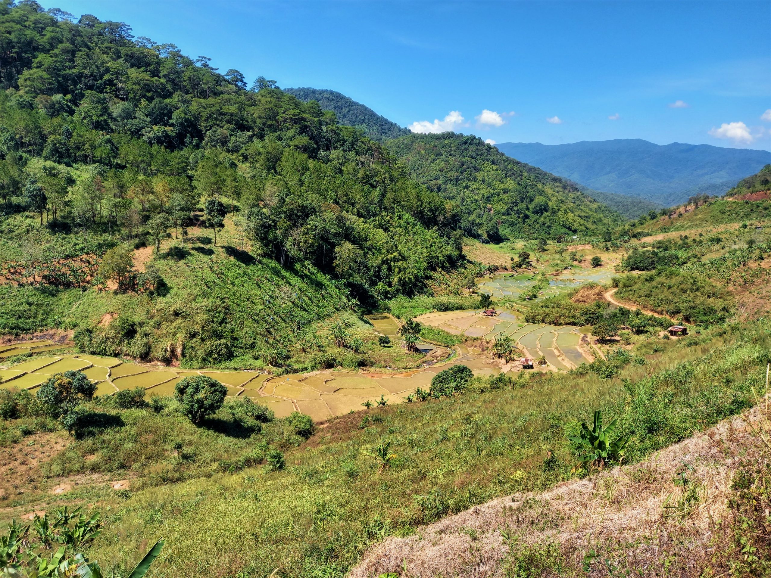
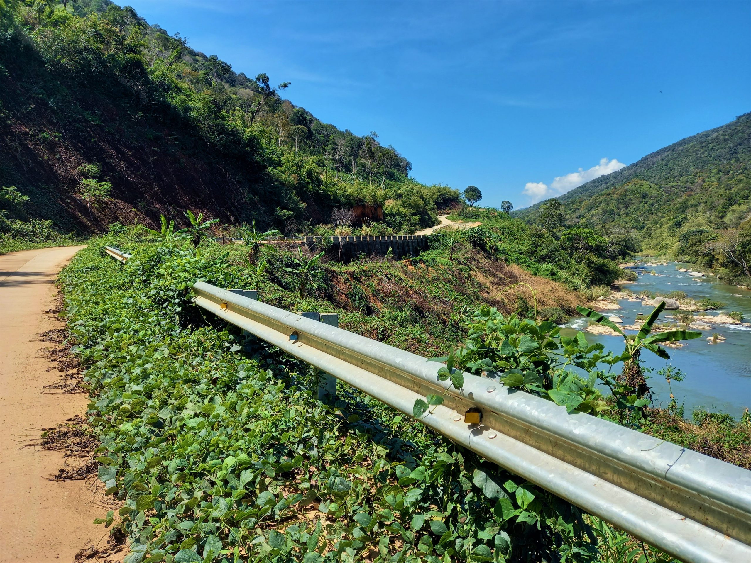
Although the villages here are very small, the impact they have on the landscape they live in is very apparent. Traditionally, people in this area (most of whom belong to several of Vietnam’s numerous ethnic minority groups) practiced slash and burn agriculture. Nowadays, the Vietnamese government encourages them to cultivate cash crops instead. The transition results in a rather ugly hodgepodge of cleared forests, barren hillsides, and heavy machinery. But it’s hoped that the new agriculture will provide local people with a more stable income. The construction of the ‘Pine Tree Road’ itself has also made a physical impact on the area: from a distance you can follow the road’s progress through the landscape by tracing the scar it has made in the forest. The road has improved access to these remote minority areas, but it has also made it easier to reach previously inaccessible stands of old-growth forest, which are now being felled.
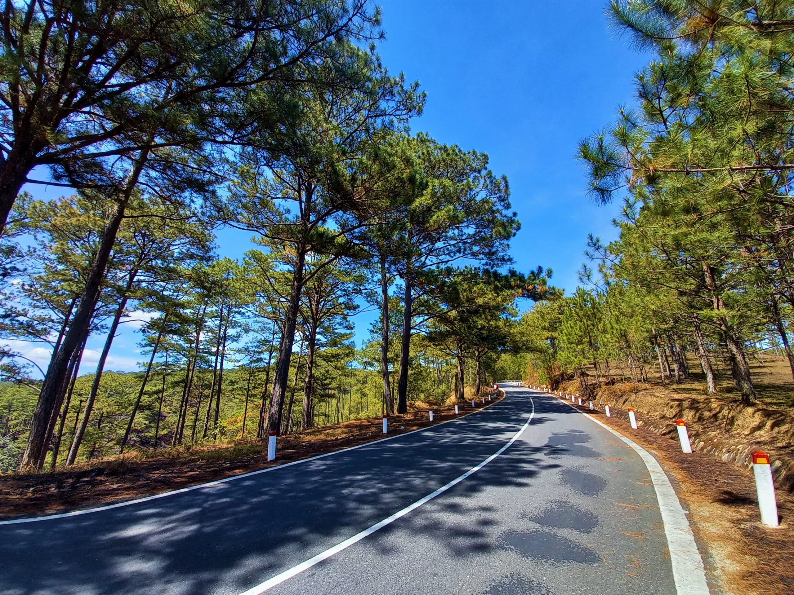
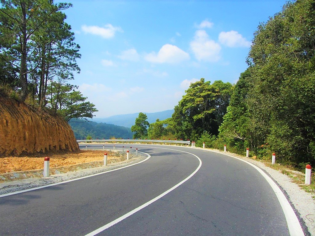
The villages here appear to be quite poor, especially compared to the increasing affluence of Dalat. Nonetheless, people are very friendly (kids jump into the road to wave as you pass by) and, on closer inspection, some of the wooden homes are reminiscent of clapboard prairie houses, sporting wooden verandas and decorative flourishes here and there. Đưng K’Nớ is the largest settlement on the ‘Pine Tree Road’. A few shops sell snacks, coffee and bottles of gasoline.

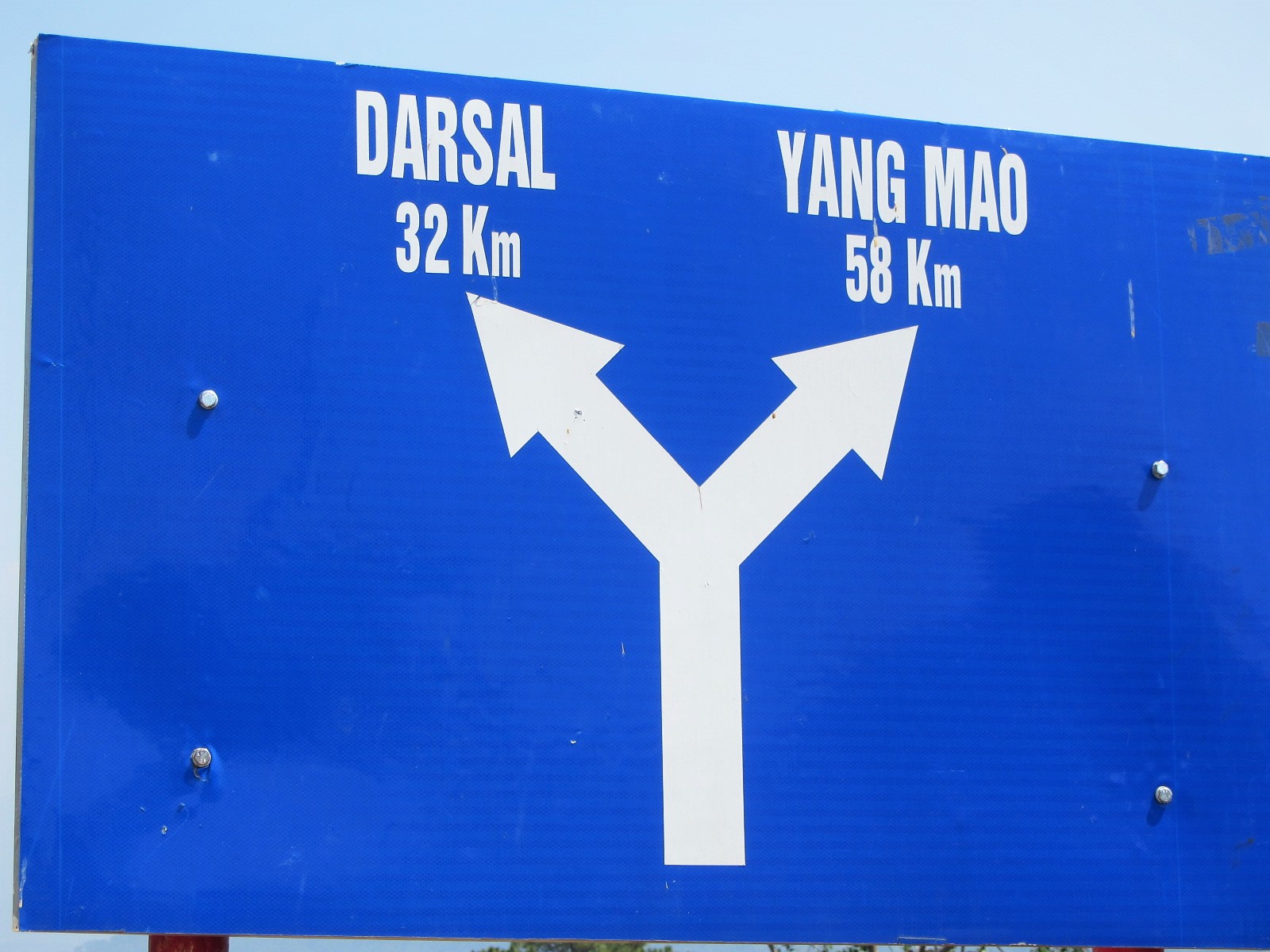
At Đưng K’Nớ there’s a junction. A big signpost reads: north to Yang Mao (58km) or west to Darsal (32km). However, in reality neither of these is a possibility. Yang Mao is where the ‘Pine Tree Road’ will eventually lead when completed, connecting with the Trường Sơn Đông Road, but for now it’s only possible to continue north along this road for another 22km, skirting the Krông Nô river valley before it dead-ends in a construction site. But, this is still a sublime ride and well worth it. Heading due west from Đưng K’Nớ, however, is not advisable. Even though it looks as though road DT722 is the perfect way to cut west and join road QL27, the first section is a very rough track which even experienced riders with off-road motorbikes find very challenging. Many riders have come unstuck on this road, especially in wet, muddy conditions. I strongly suggest not attempting it; instead continue north on the last, gloriously smooth and scenic section of the ‘Pine Tree Road’, before heading back to Dalat the way you came.
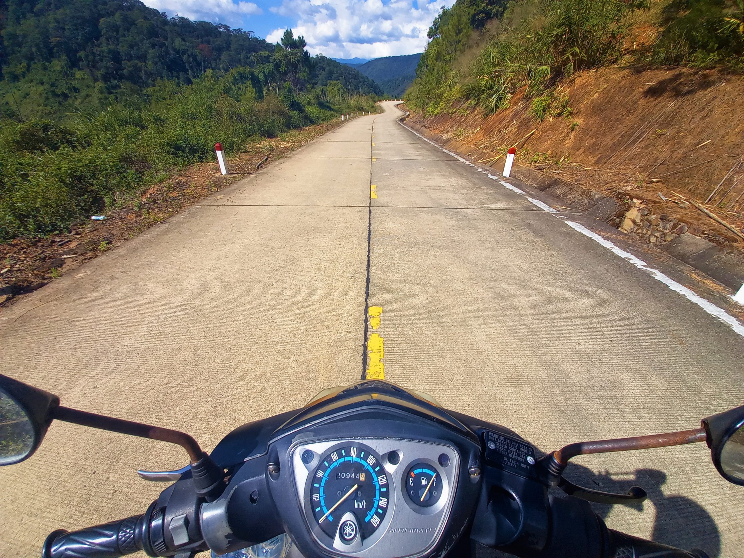
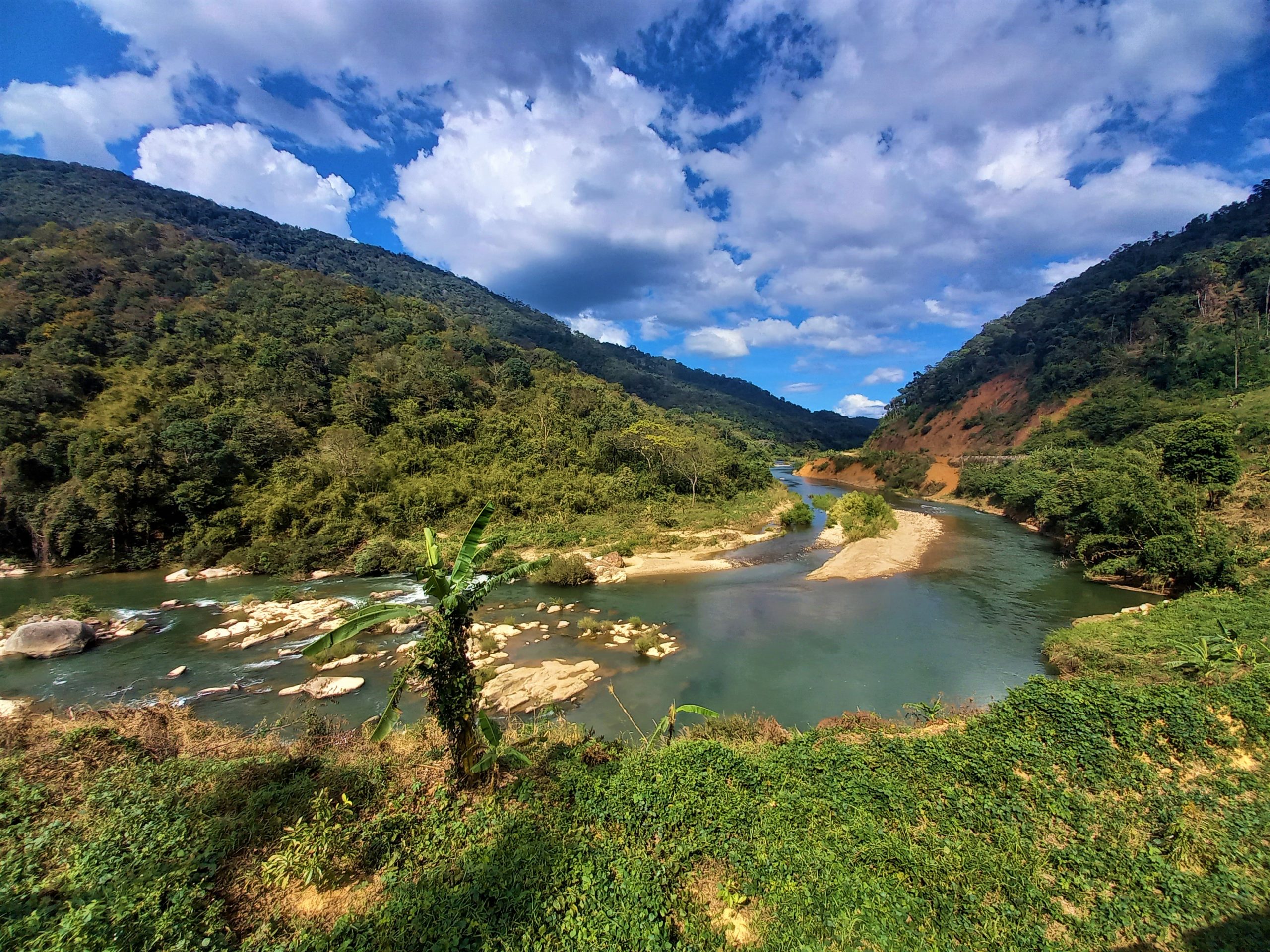
North from Đưng K’Nớ the views are big and spectacular. The road is carved into the mountainside, curling down into a steep, cultivated valley (there’s even an optional scenic detour due east to a hydro dam). When the road reaches the valley floor, the Krông Nô River runs clear and blue, surrounded by jungled hills. The river is swimmable (but be careful because the current is strong), the riding easy and joyous, and there’s no one else on the road – camping opportunities abound. Ride as far along the valley as you can, until the tarmac ends where road construction is ongoing. There’s no choice but to turn back and return to Dalat on the same (beautiful) route.
Places to Stay:
The Pine Tree Road is most commonly ridden as a day trip from your accommodation in Dalat, but there are also a couple of options for staying a night on the route. Dalat has hundreds of accommodation options to choose from in all price categories, many of which you can browse and book on this page. (For my reviews of accommodation in the area see this page.) About 25km from Dalat and just north of Suối Vàng Lake, Làng Cù Lần Resort has some forest-style huts and chalets available set among pines and ponds. It’s nice enough but gets very busy on weekends and public holidays. Much deeper along the Pine Tree Road is Lãnh Địa Khỉ Ho Cò Gáy which features some interesting looking wooden long houses and viewing platforms. It seemed to be unfinished when I last visited, but looks as though it may offer some kind of accommodation in the near future.

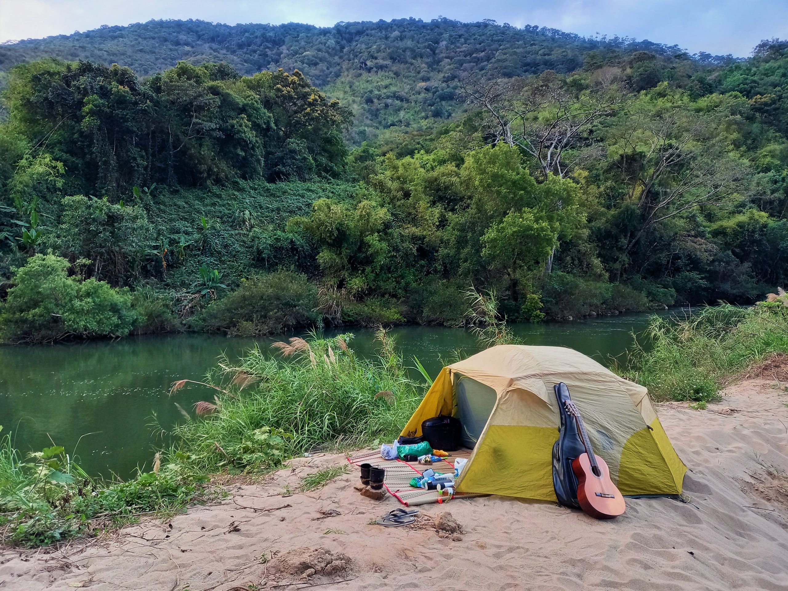
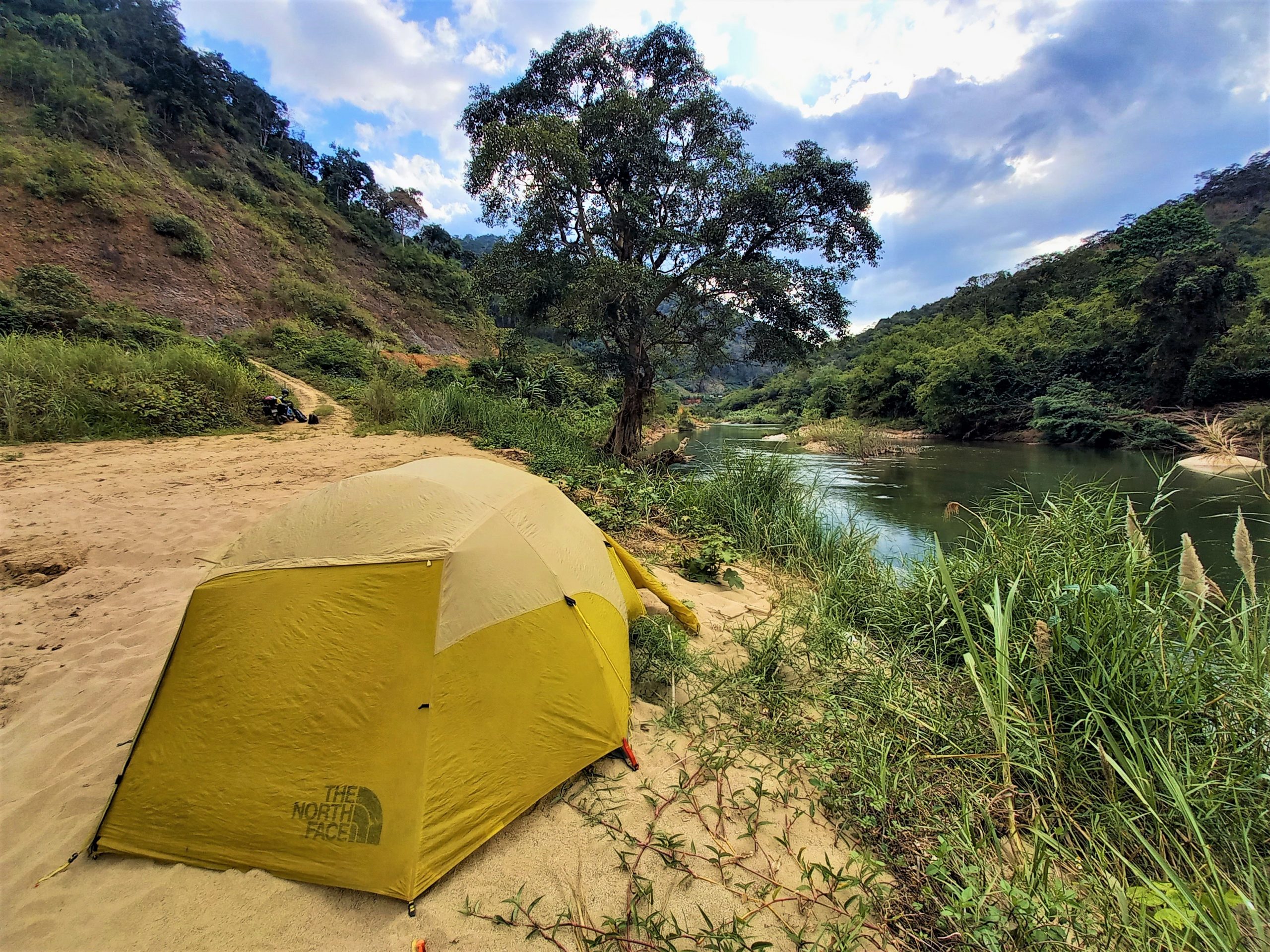
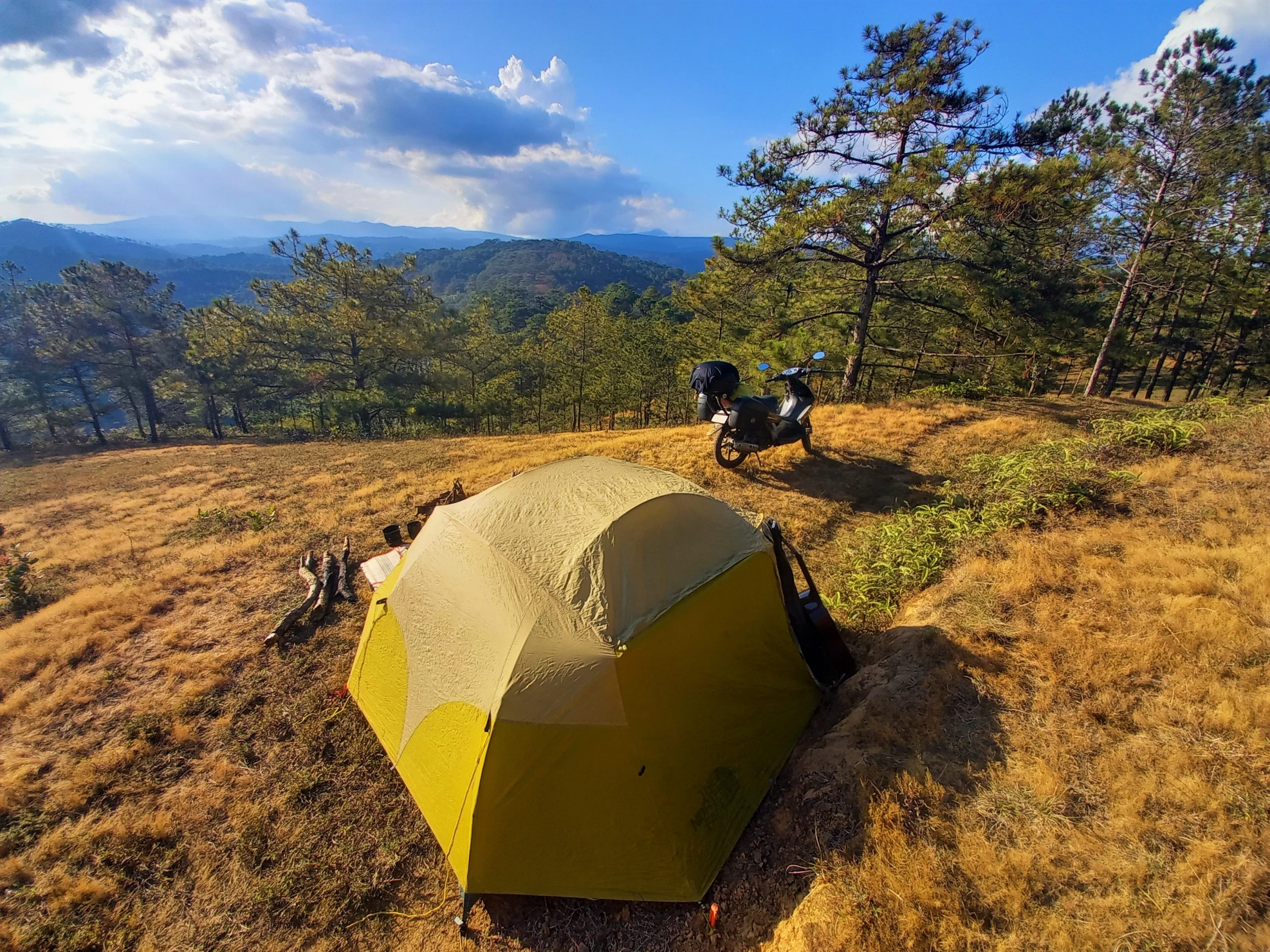
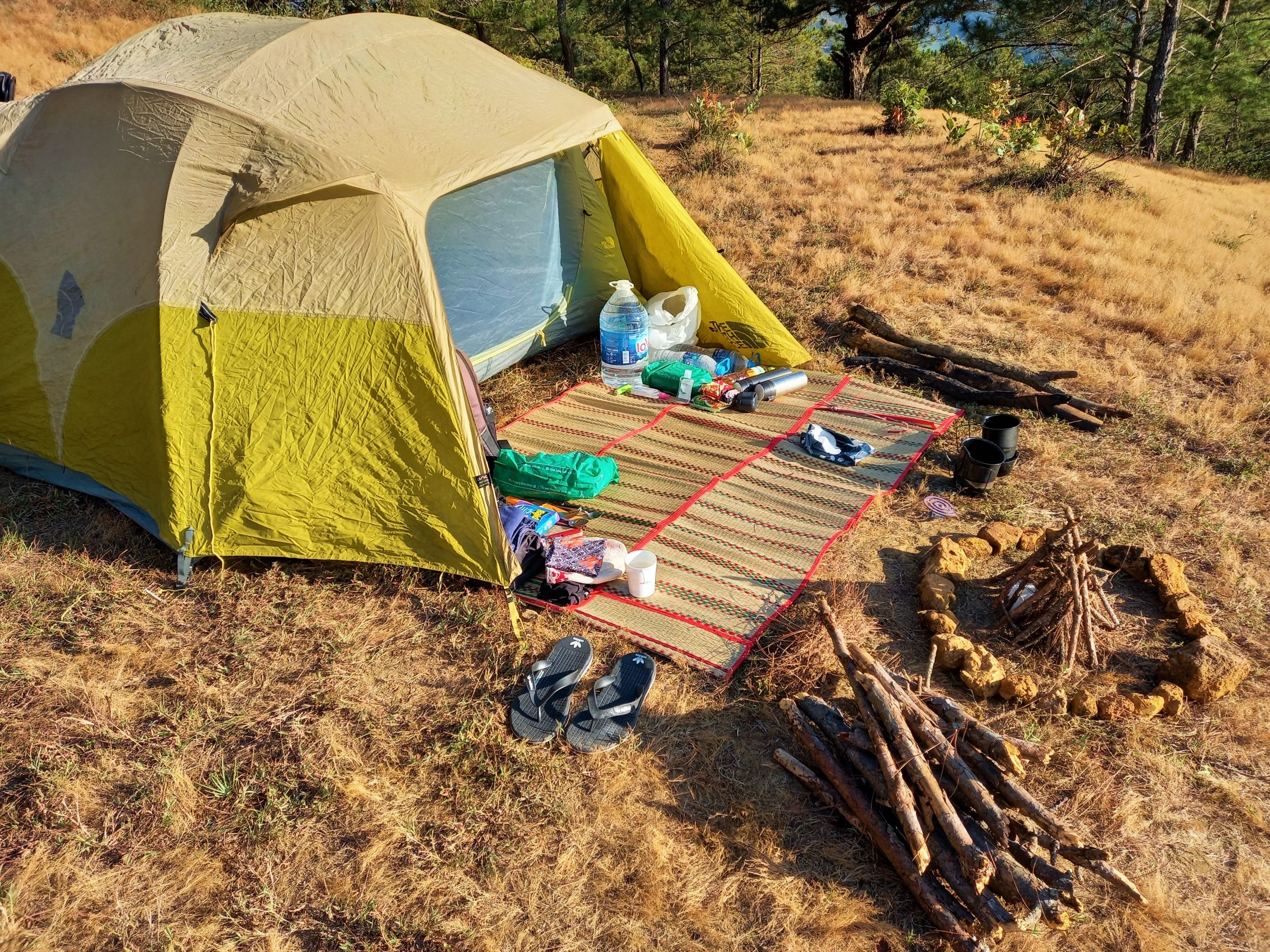
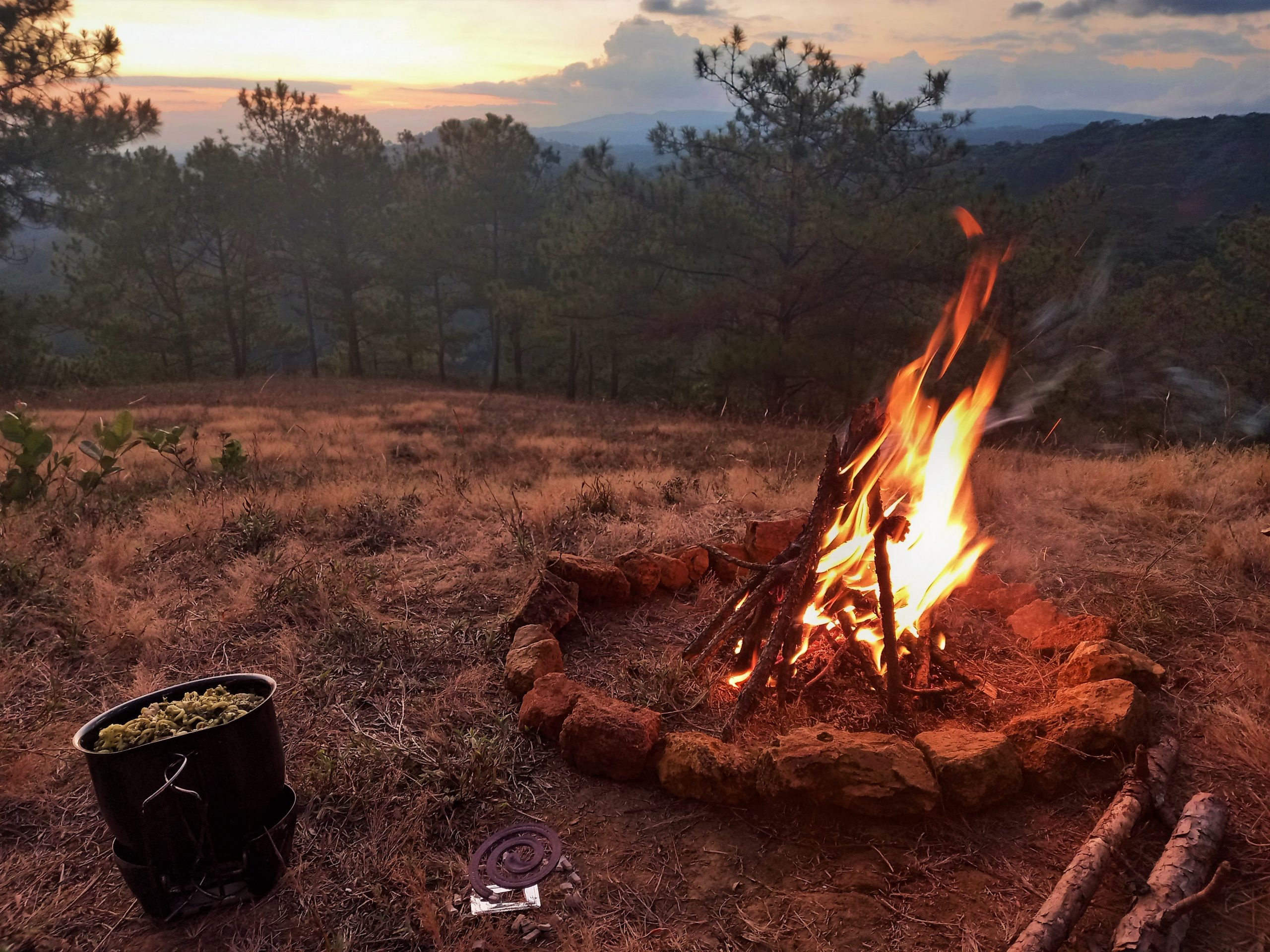
Camping: By far the best, most atmospheric and memorable way to spend a night on the Pine Tree Road is wild camping in the forests. Along much of this route there are red dirt roads leading deep into the pines where ideal camping spots abound. You’ll need to bring your own equipment and be smart and considerate about where and how you camp. I’ve written a lot more about this in my Dalat Camping Guide.
Food & Drink:
Beyond Suối Vàng Lake, eating and drinking options are sparse. Take a picnic with you from Dalat so that you can stop by the roadside at a scenic viewpoint and enjoy the scenery with a sandwich and coffee. However, around Suối Vàng and Dankia lakes there are several excellent open-air barbecue stalls and shacks serving grilled whole chicken, (gà nướng), sticky rice inside a length of bamboo (cơm lam) and the local spirit, rượu sim (a delicate rice wine flavoured with the ‘sim‘ fruit). My personal favourte is Quán Thung Lũng Xanh, a fantastic wooden restaurant with great food overlooking pine-studded hills. In addition, there are a few fruit orchards and strawberry gardens (vườn dâu tây) where you can stop, pick and buy fresh berries. In Đưng K’Nớ there are a couple of stores selling snacks (and gasoline). Finally, don’t forget to stop by one of Dalat’s amazing coffee shops before setting out on the Pine Tree Road.

*Disclosure: I never receive payment for anything I write: my content is always free and independent. I’ve written this guide because I want to: I like this route and I want my readers to know about them. For more details, see my Disclosure & Disclaimer statements and my About Page

Hi Tom,
Great article about DT722 “Pine Tree Road”
I’m moving from Australia to DaLat in April and was looking for a 3 to 4 day Loop when I saw DT722 on google maps and then found your article when google maps would not compete the DT722 loop. I was very happy to read the updates in your comments that the loop is now passable.
Thanks for the info, keep up the great work!
Cheers,
Darren
Hi Darren,
Thanks. Yes, as long as the weather is reasonably dry then you can now complete the loop on DT722. I was there a couple weeks ago. However, in very wet conditions, it would still be quite slippery.
You might also be interested in my Dalat Loops and the Dak Nong Geopark Loop and many other motorbike guides in my archive.
Best,
Tom
We ascended the DT722 last Friday riding from Lak Lake to Dalat. Conditions are good, even for us inexperienced bikers. It was a lot of fun driving up. The black section just past the village even had hard packed gravel now, just a few 100 meters.
Still wouldn’t attempt it in wet conditions though.
Hi Maarten,
That’s great news – thank you very much for this update!
Best,
Tom
Update on the DT722 connection to Da Long via Da Lat:
I can confirm previous mentions that this road is very much rideable. The whole road from Dung K’no to Da Long is all dirt and under construction, however there were no obstacles unachievable on any bike. Many locals/construction labourers were on the route and it’s well packed and ridden.
The first section just out of Dung K’no was a fun, mostly downhill section were you can coast the bike while off if you like, quite fun! The road is in good shape, fine silty/dust and a short rocky section. Again, nothing terribly challenging. You pass through some construction infrastructure, culverts and a bridge all unfinished.
Once you pass through the attractive hamlet of Dong Trang, the road narrows slightly and climbs, hugging the mountain side that eventually empties into the valley with Da Long. Many gorgeous vistas and views. Interestingly, the soil changes to a red colour here.
A few fun climbs and a long downhill where you return to tarmac in town.
The traffic picks up here and I would watch out for locals rounding the blind corners in your path. Use your horn!
I would also echo other comments that advise against trying this in the wet. It would definitely be perilous. But could be good fun 😉
Hi Gavin,
Thank you for this valuable update on road conditions on DT722 between Dung K’No and Da Long. It’s good to hear that the route is passable all the way on any bike, at least in dry conditions.
One day, they will finish paving that entire section.
Best,
Tom
Hi Cameron,
Why you are not using hammock for camping? Would like to hear your opinion about hammock vs. tent 🙂
Best regards
Hi Dusan,
A tent is just more secure and better for all conditions, but a hammock packs smaller and lighter.
Best,
Tom
Update on DT722 from Da Lat to Buon Ma Thuot – I rode the route that is unmarked and under construction on April 1st 2023 and road conditions were quite dry In the area and I managed just fine. At the time was riding a 120cc Win and encountered no obstacles, other than a steep rocky grade at the beginning.
If you’re comfortable on your bike and take it SLOW, you’ll be just fine. Be sure to fill up on gas if you have a small tank beforehand because I don’t believe there are any petrol stations for a while up there or at least until Da Long. The rest of the route is mostly dirt cutting through the hills and under construction in many places but it made for a pretty exciting ride. I quite enjoyed it.
With that said, I would 1000% recommend avoiding if road conditions are wet. The entire route would’ve been a nightmare if it was muddy – The road is just simply not ready and you run a huge risk of getting stuck out there. Watch the weather – But don’t shy away from it if it’s dry and you like getting off the beaten path.
Hi Connor,
Thank you for this update and for sharing your trip report. I’m glad to hear that road was fine when dry and that you enjoyed the ride. And yes, I agree, in wet conditions it’s best avoided.
Thanks again.
Best,
Tom
I’m very happy to report that there has been much progress with road construction on DT722 from Đưng K’Nớ to Đạ Long! I rode it yesterday, January 1, 2023, on a Honda SH Mode 125cc loaded with gear and encountered no major obstacles. Except for maybe the first km from Đung K’Nớ which is a bit rocky and steep downhill, it’s an even single lane dirt track. I passed several locals, including even one small car, while traveling west. My average speed was about 20kph and it took me one hour from end to end. For riders heading towards Dak Lak this can save about an hour since it’s no longer necessary to go south to QL27. It’s also some of the most spectacular scenery I’ve seen in Vietnam. In rainy conditions it would still be unadvisable as with any dirt road, but in general it’s absolutely doable for most riders/bikes now!
Hi Ben,
Thanks for this update – that’s really great news and fantastic information for anyone who’s riding this route.
Best,
Tom
I rode this today (Feb 2021), and can report that the road is paved NORTH of Dung K’No almost all the way to the river that forms the provincial boundary. The road that drops down to the river for the last km is a stone trail, but the rest is fantastic. I almost turned around at Dung K’No, but decided to keep going. Absolutely worth it – there is a gorgeous valley of rice paddy’s that had the light hitting them just right. A photographer’s dream!
Hi Greg,
Thank you for the updates and I’m glad you enjoyed the ride.
Yes, the section of the Pine Tree road heading north of Dung K’No has been paved for a couple of years now, but still no progress seems to have been made with the bridge that will surely eventually cross the river forming the provincial boundary.
Also, it’s important to note that the road heading due west of Dung K’No to join up with Road QL27 towards Lak Lake and Buon Ma Thuot is still in very rough condition for part of the way and not really passable for most riders on most bikes.
Thanks again,
Tom
Hi,
there is some update to the connecting dirtroad DT722. We did it yesterday (two people and backpacks on one Honda XR150) in the direction from Buon Ma Thuot to Da Lat. The conditions were pretty dry so we assumed we will manage. And we did! But I can’t recommend it, really not. The main problem was the first half of the road. While the second part closer to Da Lat is currently being built for cars (it is still a dirt road but very wide and easy), the first part looks unused and it is more an eroded path rather than a road. Putting away all the fallen bamboos and zigazagging between the deep holes, streams and rocks would be doable – but there were several places where you either have to be superexperienced rider or have a great luck. For example: you have to cross former bamboo-dirt bridge – but half of it has eroded and you find yourself balancing on 50 cm wide unstable piece of land, with 2m fall on both sides. Not fun at all. Or many times you have to break downhill with no saving ground beneath your feet (there are deep holes everywhere) – just relying on your balance on the unstable dust. The first third took us one hour and a half. Then the path got a bit better (still pretty eroded but no such dangerous places) – and it seemed to be really used by the locals. It is possible that there might be another path going from the first village through the valley and then connecting to the DT722 circa after the first terrible third (we saw the connecting path coming from the valley but did not explore it). The rest of the road was better and when we reached the village in the middle, we continued on the comfortable newly built wide road.
So, to sum up, if you wanna try it even after reading this, please, don’t go alone and ask the locals about an alternative path to avoid the worst third (Buon Ma Thuot side). If you are curious and have enough time, you can try to explore it from the Da Lat side and see where you can get.
Hope this helps!
Hi Eliska,
Thank you for taking the time to write this update. I appreciate it, and I’m sure other riders will too.
Tom
Any updates to this? Looking to do this in a couple days then take the dirt track to link up with QL27.
Hi Nicholas,
Most reports are that the road is still passable in good (dry) conditions if you’re on an appropriate bike, but still pretty challenging if it’s wet or been raining a lot recently.
Tom
I’m planning to go from Dalat to Lak Lake. Would definitely like to make the trip through this pine forest trail. Any updates on whether the westward DT722 route had been developed?
Riding a CBF125 which should be able to handle the terrain but I’m riding with a pillion and backpack and might wanna avoid putting the passenger through too much trauma lol
Hi Weijie,
As far as I know that section of DT722 is still off road, but locals do it and say it’s fine when it’s dry.
I would guess that, if you’re on a CBF and it’s dry conditions and you have some off road experience, it should be OK.
I’ll be in the area tomorrow so I’ll ask around,
Tom
Hello Tom , all the time i’m Really enjoyed to read your guides
I was in Dalat to weeks ago and I followed some roads on your map . The sunset of the lake was incredible . I sleept with 2 others families and kids at Ana Mandara Resort easy with kids
I drove also on the Mimosa road beautiful and I was lucky because when I Cam back to Dalat on this road the sunset was like magical orange .
THANK YOU FOR SHARING YOUR EXPEREINCE . Marie
Hi Marie,
Thanks. That sounds great. I’m really happy to hear you enjoyed your time in Dalat and at Ana Mandara Resort – it’s lovely place.
Tom
Thank you so much for sharing. I’ve enjoyed your site. Did the Pine Tree round trip today and loved it. We wanted to try the rice at Hoang Hac Quan but got kinda turned off by them specializing in “wild game.” I agree smd saw first hand the environmental points you made so clearly. Roads going deep into forests are a double edged sword. They push humans deeper into areas that were protected. If you truely love animals and nature, may I suggest a restaurant in DaLat. It’s inexpensive and authentic.
Nha Hanh Hao Sen
62 Phan Đình Phùng, Phường 2, Tp. Đà Lạt
If coming from Ana Mandara Villas Dalat Resort & Spa use google route “walking” to ride a shortcut through a neighborhood and over a cool bike bridge.
Thank you so much for sharing. Did the Pine Tree today and loved it. We wanted to try the rice at Hoang Hac Quan but got kinda turned off by it specializing in “wild game.” If you truely love nature, may I suggest Nha Hanh Hao Sen 62 Phan Đình Phùng, Phường 2, Tp. Đà Lạt, Lâm Đồng, Vietnam. If coming from Ana Mandara Villas Dalat Resort & Spa use google route “walking” to ride a shortcut through a neighborhood and over a cool bike bridge.
Hi Cameron,
Great to hear that you enjoyed the Pine Tree Road.
Thanks for the restaurant suggestion – I’ve already recommended Nha Hang Hoa Sen in my Dalat Food & Drink guide (but it’s definitely due an update now)
Tom
Da. You’re the best!
We found “North Face” easier on the return and plan to camp there.
Hi Cameron,
Great, I hope you enjoy it.
Tom
Hello Tom,
thanks for this interesting page.
Not really clear to me one thing…
I intend to go from Dalat to Buon Ma Thuot using this pine road and then head West on the DT722 and reach the QL27 driving beside Song Krong No…
Is it a good idea? How is that road?
Great thanks!
Hi Nicola,
Road DT722 is usually in bad condition as it heads west at the end of the Pine Tree Road as outlined in this guide. Unless you have a motorbike that is good off-road you will need to take a different route from Dalat to Buon Ma Thuot. Take Road DT725 south from Dalat past Elephant Waterfall until it joins Road QL27, then take this to Buon Ma Thuot.
I hope this helps,
Tom
Hello Tom,
yep… confirming what I was afraid I had understood…
I’ll follow your advice and I’ll make sure I book homestay through your site… 🙂
Great thanks!
Thanks, Nicola.
Enjoy the ride.
Tom
I too was a naïve idiot and trusting the maps rode through this road on a reworked Honda Future in the rainy reason to Buon MA Thuot.
Had to ride through streams upto 2 feet and all the associated mud. The path was not suitable for riding especially for the bike I was riding ( I never intended to do off roading anway).
I gave up 70 percent through the road and it was only through the incredible help of some locals who rode it to the nearest village and their hospitality of hosting me for the night that I made it back to the road the next day.
Hi Suhaa,
Yes, well apparently there’s plans to pave it, and progress is being made. Great to hear that you got some help from locals in a difficult situation.
The first 30-40km as I’ve outlined in this guide is certainly worth the trip anyway.
Tom
You are a real traveler. Thanks for sharing.
Thanks, An. I’m glad you enjoyed reading 🙂
Tom
I went on this road but carried on to Buon Ma Thuot was one of the toughest drives of my life but an incredible experience. I got stuck in the jungle for four hours as those beautiful roads slowly turned into rocky tracks through dense forest. Hidden gem though as the roads were very quiet and the scenery was incredible. Great Post
Cheers
Adam
Thanks, Adam.
Yes, I hope they’ll paved the road all the way sometime soon – but then, as you say, it wouldn’t be such a hidden gem anymore.
Tom